Back to Basic Corner
Dirilis pertama di Facebook pribadi.
(Written 5 years ago: January 29th, 2005 - Tebet Timur Dalam)
Back to basics is often claimed by majority of geologists as their dogma. But in reality, just like most of us practicing our religion, the use of basic geology in any sectors of our works hardly ever noticed. This is especially true in an ever advancing world of tools and technology to analyze geology in oil, gas, and mining industry. We are often blinded by the fancy outlook of software products/outputs and forget about the geology data and concepts underlying the outputs.
I have an experience about these back-to-basic needs phenomena when I was working in an exploration team of a major oil company in Kutai Basin several years ago. One of the members of the team is a bright young geophysicist who was very skillful to produce many attribute maps from 3-D seismic cubes. Unfortunately he did not really aware of the regional geology models/concepts of the area, so that every time his sliced-maps showed curve, “meandering-like” forms he automatically drew meandering channels on the map and made fluvial meandering river model out of them. It happened that the regional geology synthesized from adjacent wells and outcrops indicated the area to be within inner-middle shelf environments. So, how can a fluvial meandering channel developed in inner-middle shelf environment? In the final outcome, after reconciliation with other data, the “lots-of curving-slices” maps were to be interpreted as “carbonate-patches”.
Unless they drill it, they would never know what it is (and until today, no drilling has been conducted on that part of the area..)
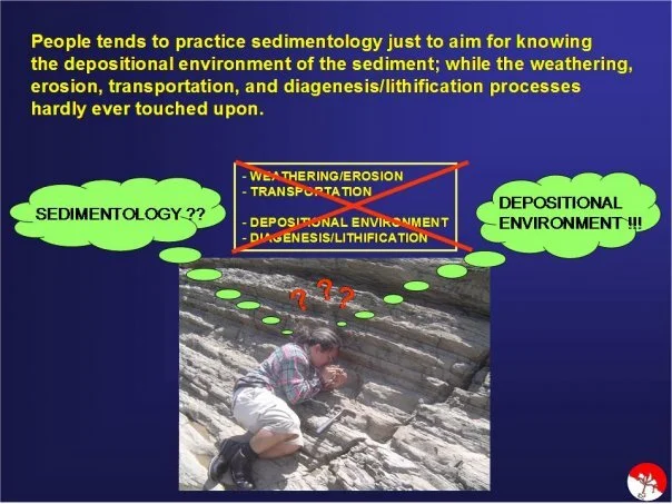
To give you another back-to-basic issue, especially in sedimentology topic, the following picture speaks for itself:

